File:Cantonmap.gif
From DipWiki
Size of this preview: 791 × 600 pixels. Other resolutions: 317 × 240 pixels | 806 × 611 pixels.
Original file (806 × 611 pixels, file size: 26 KB, MIME type: image/gif)
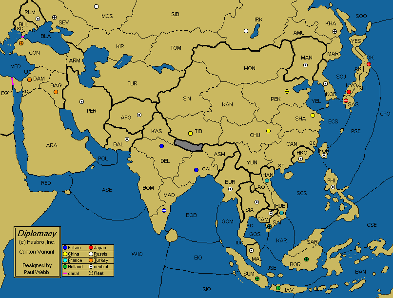
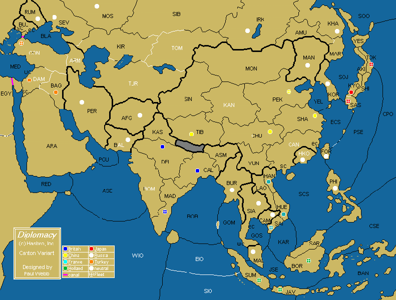
Map for Canton variant. By Paul Webb. From http://web.archive.org/web/20091027075238/www.geocities.com/asiandiplom/map.html
File history
Click on a date/time to view the file as it appeared at that time.
| Date/Time | Thumbnail | Dimensions | User | Comment | |
|---|---|---|---|---|---|
| current | 15:58, 7 July 2010 | | 806 × 611 (26 KB) | GRuban (talk | contribs) | Map for Canton variant. By Paul Webb. From http://web.archive.org/web/20091027075238/www.geocities.com/asiandiplom/map.html |
You cannot overwrite this file.
File usage
The following page uses this file: